WATER BENEFITS FROM SFI‑CERTIFIED LANDS IN THE UNITED STATES
The Tableau tool embedded below helps quantify the water value of SFI-certified forests and can help diverse partners and organizations understand the value of sustainably managed forests.
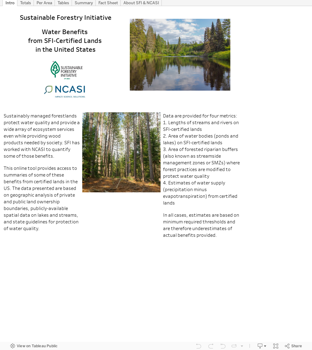
These data will be useful for SFI-certified organizations to quantify water related benefits in SFI-certified forests, to help forest managers make management decisions, and for users of the SFI label to understand how certified fiber can help advance their water-related sustainability goals.
- This tool calculates various metrics describing water values across the SFI footprint in the lower 48 states of the U.S., including the total length of streams managed within SFI-certified forests, the total area of waterbodies, the area protected within riparian management areas (riparian “buffers”), and the amount of water flowing from SFI-certified lands.
- Users can explore their own geography and learn about the water-related benefits of SFI‑certified forests near them.
- The tool demonstrates that each year, over 24 trillion gallons of water flow through SFI‑certified forests in the U.S., enough water to supply a major U.S. city like Los Angeles for more than 150 years.
- Over 68 million acres of SFI-certified forestland in the U.S. encompass over 187,000 acres of open water surface, and more than 203,000 miles of streams.
- Management on SFI‑certified forests in the U.S. provide protection for over 1.7 million acres of riparian forests, where activities are limited to protect and maintain water values.
SFI and the National Council for Air and Stream Improvement, Inc. (NCASI) believe that this tool will be most valuable for those interested in evaluating the water-related contributions of SFI-certified forests, including brand owners that use SFI‑labeled products, and academic and non-profit organizations seeking to better understand contributions of SFI-certified forestlands for enhancing water supplies.
WHY IT MATTERS
Forests play a central role in purifying the water we all rely on, particularly in North America. Canada’s boreal forest, for example, is the largest source of fresh water in the world. In the United States, over half of the surface water supply originates on forestland, even though forests cover just 29% of the U.S. Public and private forestlands combined supply water to more than half of all Americans (approximately 180 million people).
Over 370 million acres/150 million hectares of forestland are certified to the SFI Forest Management Standard in North America, purifying water at an enormous scale. Every year, enough water flows through SFI-certified forestlands to sustain Niagara Falls for more than seven years.
The SFI Forest Management Standard is the largest single forest management certification standard in the world. Among its requirements are measures to protect water quality by protecting riparian areas, ensuring application of water quality Best Management Practices (BMPs) during the course of forestry operations, prompt reforestation, and much more. Objective 3: Protection and Maintenance of Water Resources, in the SFI Forest Management Standard, has a variety of performance measures related to water quality.
In 2020, SFI-certified organizations reported investments of almost $5.5 million in water-related research projects. Additionally, the SFI Conservation Grants Program supports research to enumerate water-related values and conservation outcomes, as part of the SFIConservation Impact Project.
Please note: The SFI-NCASI Carbon and Water Benefit Tools are very data heavy and are best experienced by desktop computer. While much of these data display via mobile view, the desktop view provides the best opportunity for selecting different variables and engaging with the data. Users with slow internet connections or slower computers may also have difficulty exploring the full interactive experience of the tools.